

You ride for the road.
Your sat-nav doesn't.
A motorcycle sat nav that finds the good roads.
Farsider is a motorcycle navigation app for touring and adventure riders. It finds the fastest way or the curvy and scenic one, as you choose, and keeps working where the signal stops, from the Stelvio to Patagonia.
Free on iPhone and AndroidCurvy route planner
Every route shows its time, distance and how curvy it is. Ask for more bends, avoid motorways, tolls and ferries, and set the surface from paved to wild.
Round trips, ready to ride
Pick a kind of ride, a direction and how long you have, and Just ride finds three loops back to where you are. Or tap the map and draw your own.
Offline motorcycle GPS
Download whole countries. Maps, routing, search and voice guidance work with no signal, and you stay placed in tunnels.
Gravel and adventure
See how much of the road ahead is gravel, where it starts and where it ends. Route onto dirt on purpose, or around it.
GPX trips and ride records
Import a GPX file and ride it day by day. Every ride is recorded on your phone; Pro adds the climb, surfaces and curves, and GPX export.
Group rides
Share a QR code and see your friends live on the map with speed and heading. Send the group a route. No account needed.
Rain radar on your route
Live radar and the weather along your route at the hour you get there, with a heads-up while you ride.
Clear on the road
Turn-by-turn voice, lane guidance, speed limits and speed cameras counted down, in a cockpit you lay out yourself.
The road tells
its story.
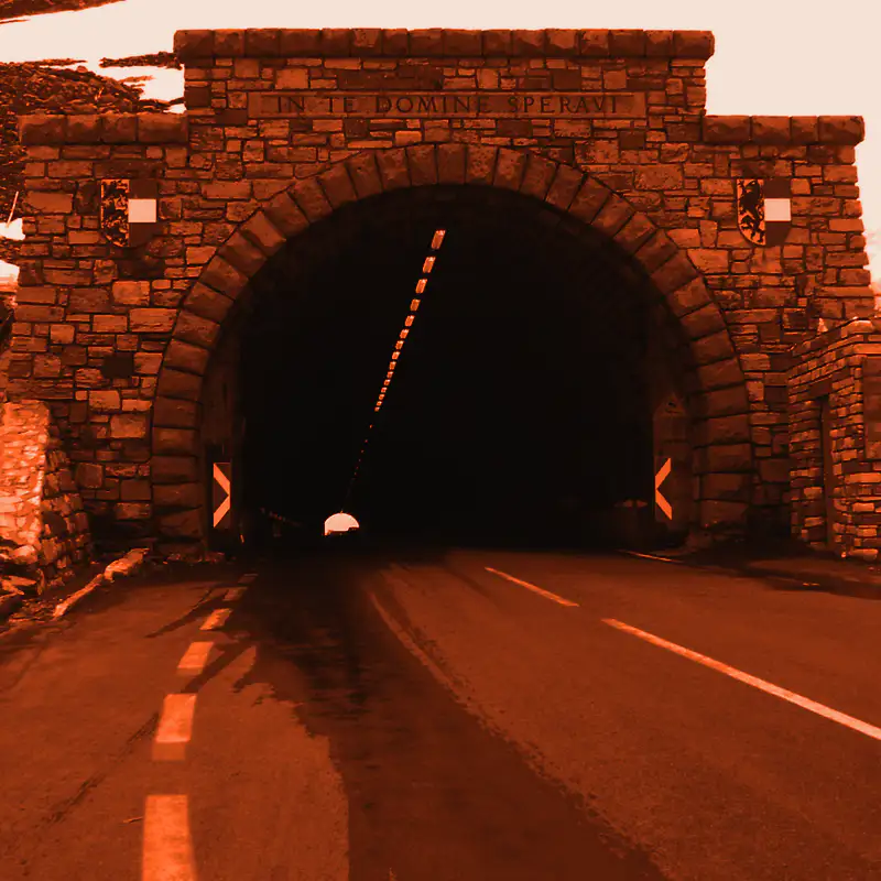
The Local guide tells short spoken stories about the places you ride through: the pass, the castle, the smugglers' trail over the border. Like riding with a local who knows every road. Part of Pro.
- It knows what you're looking at.“The castle on your left,” as it comes into view.
- It never talks over a turn.The turn first, then the story carries on.
- Your ride is one story.A teaser as you set off, a last line as you arrive.
- It learns what you love.Into smugglers, not geology? One thumb tells it.

Ride
further.
Free on the App Store and Google Play.
to get it on its store
Everything to ride with.
- Turn by turn, with curvy and wild routes
- 3 countries on the phone, offline
- Rain and the radar on your route
- GPX trips, a day at a time
- Every ride recorded on your phone
- Speed cameras, lanes and what’s coming up
- Group rides 2 days a month
Free to download. No ads, no account.
Get it freeor €9.99 month to month
Everything in Free, and:
- See the real groundSatellite photos under your route.
- Stories about where you rideThe Local guide, spoken between turns; it learns what you like.
- Your rides in depthClimb, surfaces and curves of every ride, and your month and year. Ride it again, export and share it as GPX.
- Every country you rideAs many maps on your phone as you like.
- Ride with your group any dayLive on the map whenever you ride together.
- The map in your coloursFive more map themes for the day and five for the night.
Start your 7 free days in the app. Cancel any time in your store account.
Try 7 days freeQuestions riders ask.
Free and Pro
Is Farsider free?
Yes, and without ads. Everything you need to ride is free: navigation, curvy and off-road routes, offline maps, weather on your route, GPX trips, speed cameras, wild camps and group rides. Pro adds the extras, from €4.17 a month with 7 days free.
Is it on iPhone and Android?
Both, with the same app on each: on the App Store and on Google Play.
Does Farsider track me or show ads?
No ads and no account. Your rides stay on your phone, and the anonymous usage statistics can be switched off.
What does Pro add?
The Local guide, satellite photos, as many offline maps as you like, group rides any day, your rides in depth (ride them again, export and share them as GPX) and more map colours. €49.99 a year, that's €4.17 a month, or €9.99 a month, with 7 days free.
What is the Local guide?
Stories about the places you ride through, the pass, the castle, the smugglers' trail over the border, told between your turns. Like riding with a local who knows every road. Part of Pro.
What happens after the 7 free days?
Your Pro subscription starts, by the year or by the month as you chose. Cancel before the 7 days are up, in your App Store or Google Play account, and you pay nothing.
Can I cancel Pro?
Any time, in your App Store or Google Play account.
Routes
How is Farsider different from Google Maps?
Google Maps gets you there. Farsider gets you there too, and makes the ride worth it:
- The fastest way, or the curvy and scenic one: your call.
- The gravel, before you reach it.
- Loops that bring you back home.
- Whole countries offline, past the last signal.
- Bends, descents and cameras called out early.
- Rain on your route, before it rains on you.
- Local names said the way locals say them.
- Your crew on one live map.
- Multi-day GPX trips, a day at a time.
The fastest way, or curvy roads?
Your call. Take the quickest way, or ask for curvy and scenic roads, and see how twisty each route is before you go.
Can it plan a round trip?
Yes. Tell Just ride what you are in the mood for and how long you have, and it offers three loops back to where you are. Or draw your own with a few taps on the map.
Does it show gravel and dirt roads?
Yes. See how much of your route is gravel, where it starts and where it ends. Keep to tarmac, or go looking for dirt.
Can I find a place by what I need?
Type breakfast, fuel or a motorcycle workshop and find it near you or along the way, even offline. One tap adds it as a stop.
Can I ride to a place I found on Google Maps?
Yes. Share it from Google Maps to Farsider, or paste its link into search, and you are on your way. Apple Maps links work too.
Can it find a place to camp?
Yes, free for everyone. Wild camps finds spots for your tent or hammock that you can ride to, with tonight's weather. Look for water, a place to swim or a quiet spot away from houses.
Trips and GPX
Can I ride my GPX trips?
Yes. Bring a GPX from any app and Farsider turns it into a ride: split into days, each with its distance, time and gravel, and guided turn by turn along the track.
Can I see a multi-day trip on the map?
The whole trip on one map, coloured by surface or by height, every day and alternative in view. Tap any part to see its climbs and surface.
Does it record my rides?
Every ride is kept on your phone, to look back on. Pro shows each one in depth, lets you ride it again and exports it as GPX.
Can I share a place?
Yes, with a link that opens on any phone, with Farsider or without.
On the ride
What does it show while I ride?
A big, clear cockpit you read at a glance: the next turn and its lanes, the speed limit and what is ahead, laid out the way you like.
Will I know if it rains on my route?
Before you leave, Farsider shows the weather along your route at the hour you will be there. On the road, it gives you a heads-up when rain, snow or a storm is ahead, and finds a place to sit out a short shower. With live rain radar, any time.
Does it warn of bends and speed cameras?
Yes. Tight bends, hairpins, steep descents and speed cameras are called out before you reach them. You choose which ones.
What is Coming up?
Viewpoints, passes, food and fuel ahead on your road. One tap adds a stop.
Can I use it with gloves on?
Yes. Tap anywhere on the map and six big buttons come up: fuel, coffee, the next viewpoint and more.
Does it work at night and in tunnels?
A calm night map comes on at sunset, and Farsider keeps guiding you through tunnels without GPS.
Does it work with CarPlay or Android Auto?
Yes, both: your map, turns and widgets on the car's screen or your motorcycle's display. In a car, take the fastest way, or the scenic one when the drive is the point.
Does it drain my battery?
Navigation always needs GPS and the screen, so keep a charger on long rides. Farsider rests whenever it can, so your battery lasts longer.
Offline and voice
Does it work without signal?
Yes. Download a country and ride with no signal at all: maps, routes, search and voice, all on your phone.
Where can I use it?
Anywhere you ride: 200 countries, from the Alps and the Highlands to the Rockies, the Himalaya and Patagonia.
What are the maps like?
Road and topographic maps with contours, relief and passes, in a day and a night look that switch by themselves.
Which languages does it speak?
English, German, French, Spanish, Italian, Dutch and Russian.
Does the voice say local names right?
Yes. Farsider's own voices say Pescara, Bologna and Málaga the way locals do, in seven languages and offline. No more mangled street names.
Riding together
Can I ride with friends?
Yes. Share a QR code and your whole group is on one live map, riding the same route. No accounts, just a name.
How many riders can a group have?
Up to 16. Free two days a month, any day with Pro.